
CALIFORNIA · AREA CODE GUIDE
661 area code location: Bakersfield and Lancaster, California
- Local date and time
- Pacific Time
Map data: HSIP (2010) · NANPA · US Census Bureau, checked 26 September 2026. Boundaries are approximate.
Use arrow keys to pan. To zoom, use plus and minus, or hold Ctrl or ⌘ and scroll. On touch screens, use two fingers.
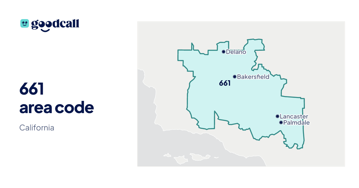
Download the 661 area code map
A printable area code 661 location map, with time zone and state. Use the PNG image in a document or slide; the SVG stays sharp at any size.
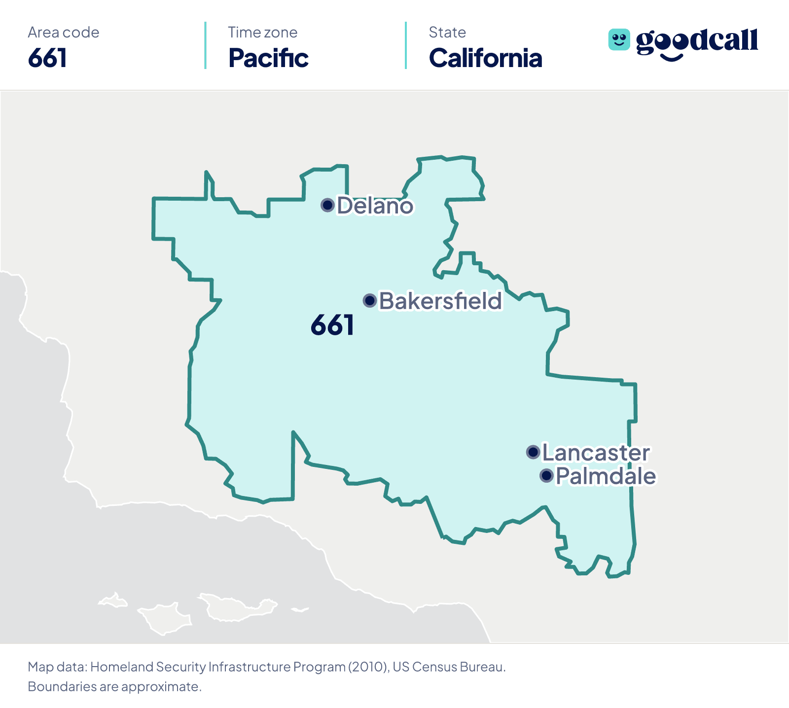
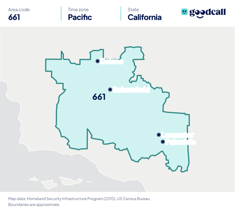
661 area code at a glance
- State
- California
- Primary cities
- Bakersfield, Lancaster, and Palmdale
- Established
- Population
- Largest community: Bakersfield, 422,165 (2025)Not an area-code population.
- Prefixes in service
- 668 as of 13 October 2026
An area code does not show where a caller is now.
History
Country and calling code: United States (+1).
Parent code: 805.
New code planned: No, as of 22 September 2026.
Time zone
- Pacific Time
- Standard time UTC−08:00
- Daylight saving time UTC−07:00
Counties and cities covered
661 numbers are issued across 30 communities. These are telephone exchange areas, which follow the phone network rather than city limits, so a place can sit just outside the boundary of the town it is named for.
Counties of the communities we could place (the code may reach further): Kern County and Los Angeles County.
- Bakersfield
- Lancaster
- Palmdale
- Delano
- Wasco
- Shafter
- Arvin
- McFarland
- Tehachapi
- Taft
- Agua Dulce
- Berrenda Mesa
- Big Butte
- Buttonwillow
- California Hot Springs
- Cuyama
- Earlimart
- Edwards
- Glennville
- Hi Vista
- Lake Hughes
- Lebec
- Leona Valley
- Lost Hills
- McKittrick
5 more communities
- Mojave
- Newhall-Castaic
- Rosamond
- Saugus Cnyn-Cntry
- Walker Basin
Notable places in 661
| Place | Where | What it is |
|---|---|---|
| Edwards Air Force Base | 4.0 km from Edwards | US Air Force installation |
| California Institute of the Arts | 25.6 km from Agua Dulce | University, 1,386 12-month enrollment (2023–24) |
| Six Flags Magic Mountain | 26.8 km from Agua Dulce | Amusement park |
| Mojave Air and Space Port at Rutan Field | 6.0 km from Mojave | Airport |
| California State University, Bakersfield | 6.0 km from Bakersfield | University, 11,993 12-month enrollment (2023–24) |
| Meadows Field Airport | 9.2 km from Bakersfield | Commercial airport, 195,148 enplanements (2024) |
| LA/Palmdale Regional Airport | 4.7 km from Palmdale | Airport |
| Air Force Plant 42 | 4.7 km from Palmdale | US Air Force installation |
| Rogers Dry Lake | 9.8 km from Edwards | Military base |
| Cesar E. Chavez National Monument | 14.0 km from Tehachapi | National Monument |
Questions about 661
Where is the 661 area code?
661 is in California. Its numbers are issued in Bakersfield, Lancaster, Palmdale, and 27 other communities.
What time zone is area code 661 in?
661 is in Pacific Time. Daylight saving time is observed.
What cities are in the 661 area code?
Bakersfield, Lancaster, Palmdale, Delano, and Wasco, and 25 other communities.
What state is area code 661 in?
Area code 661 is in California.
What counties are covered by area code 661?
Area code 661 covers communities in Kern County and Los Angeles County.
Is 661 a toll-free area code?
No. 661 is a geographic area code. The toll-free codes are 800, 833, 844, 855, 866, 877, and 888.
Sources: NANPA area code listing, NANPA places by area code, NANPA central office code assignments, U.S. Census Bureau population estimates, OMB metropolitan area delineations. Checked .
Business phone numbers in area code 661, answered by an AI agent
A local number for Bakersfield, Lancaster, and Palmdale, California, with an AI receptionist that takes caller details, answers the questions you give it, and books appointments. Numbers depend on what carriers have left.